by the sea

AmblesideGoose.jpg

Goose_Boy.jpg

AmblesideGeese.jpg

swimmer_geese.jpg

ThreeGeese.jpg

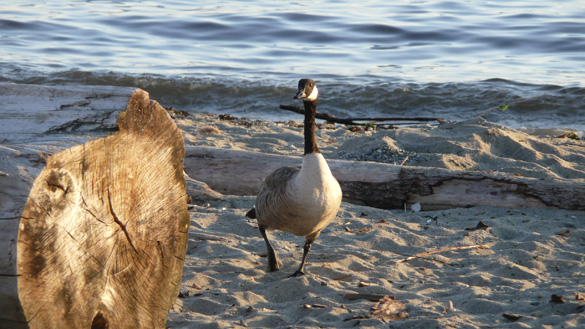
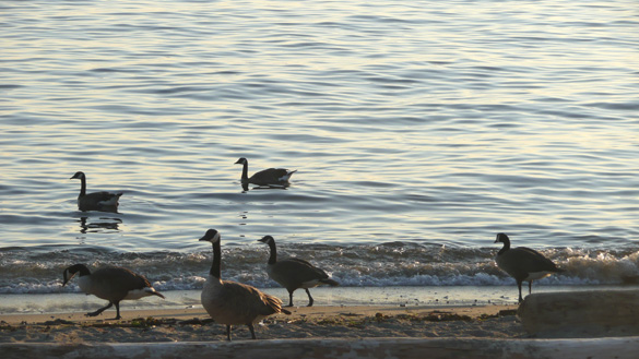
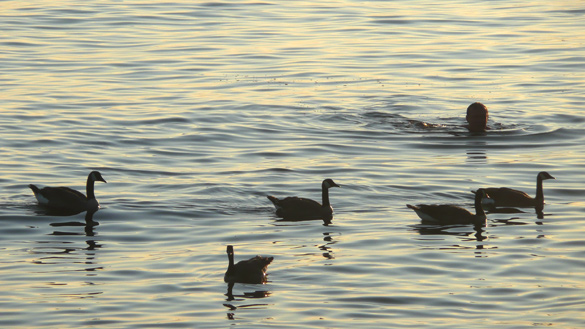
This past Saturday afternoon we had an enjoyable visit at the lovely new home of friends in West Vancouver. Afterwards the two of us made a spur of the moment decision of have dinner on the sidewalk patio of one restaurant in the charming Dundarave community. Afterwards we stopped at Ambleside Park for a stroll by the sea. The sun was low in the sky, the air was balmy but not at all hot with no wind. Many boats and some ships out on English Bay. People were still enjoying their picnics, children played in the playground, on the sand and in the ocean.

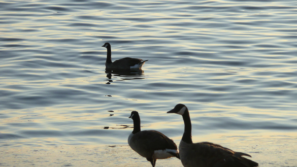
We stopped for a bit on a bench to watch this world go by. A lone goose on the beach spotted us and began to walk up to us. A young family with a little boy in stroller joined us. The friendly goose came right up to the boy, probably hoping for a snack. Disappointed, it turned back towards the water’s edge. Meanwhile a whole gaggle of geese further down the beach marched or swam to join him. We even spotted a human swimmer amongst them. A delightful evening in a favourite spot.
deer & rain

rain and deer, not reindeer
dear rain, dear deer

MamaDeer.jpg
doe, a doe, a female deer

deerJunior.jpg
fawn, a fawn, a junior deer

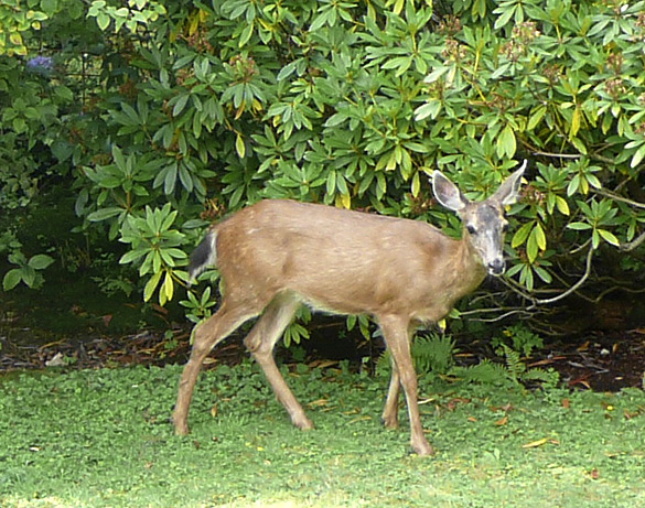
A vision of grace and beauty in our backyard a couple of days ago. A stroll through the yard and out again. No nibbling of flowers, berries, or vegetables. Remembering their visit last year.

What’s with the silly word play with rain and reindeer? Well, we are having our first rainy day here in over a month and it makes me happy. July broke the records for the sunniest and driest July ever, and one that was too hot for me. We are hoping for enough moisture in the ground to help our gardens and lower the forest fire risks around this province.

dawn & dusk

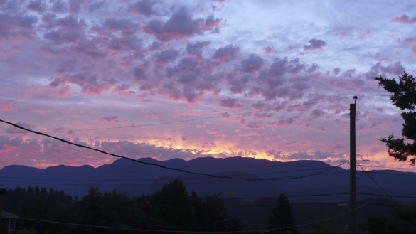
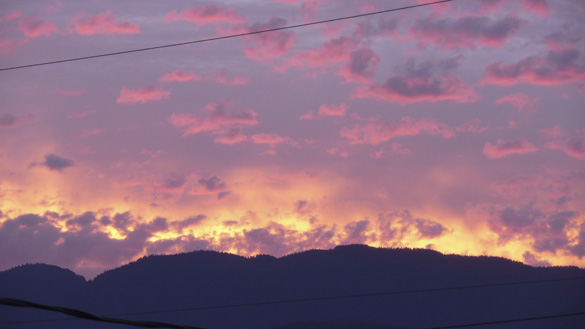
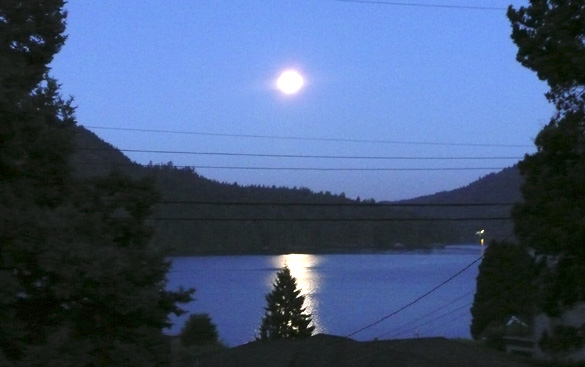
It is too hot to think or do anything physical. We’re on day 26 of no rain, afternoon temperatures in the high 20’s C (low 80’s F) with mid to high humidity – on the way to possible records for July. So, just a few photos from this month’s photo album before I go find a cool place somewhere. Too bad I’ve run out of library books to read.

Dawn7July13_419am.jpg
4:19 am July 7th, 2013

Dawn7July13_420am.jpg
4:20 am July 7th, 2013

FullMoon22July13.jpg
8:47 pm July 22nd, 2013

Hope you are all enjoying a pleasant summer and keeping cool. Send us a little rain for I’m getting tired of watering the garden.

slow road, finale

Last but definitely not least was our long desired visit to the architecturally stunning Squamish Lil’wat Cultural Centre in Whistler. Planned for many years and opened five years ago, it received a lot of attention during the 2010 Winter Olympics (I thought that’s when it opened). It has a blend of contemporary First Nations work along with historical collections. Please read about it on their excellent website. We’ve long been very impressed by their strong culture and arts so it is a wonderful thing to see it so beautifully presented here and being actively used by the Squamish and Lil’wat people.

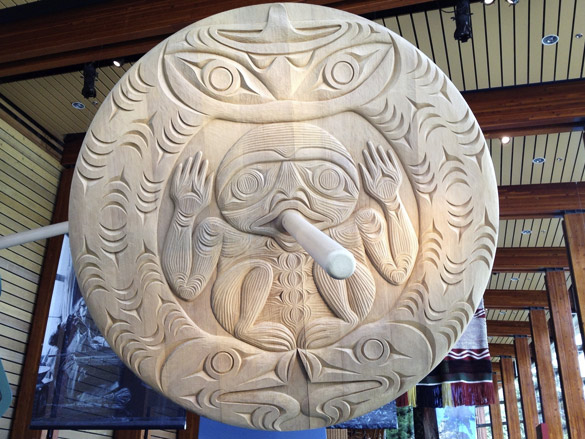
RoundDiskCarving.jpg
A huge carved and rotating wooden disk, one of two overhead to greet visitors as they come in the main entrance.

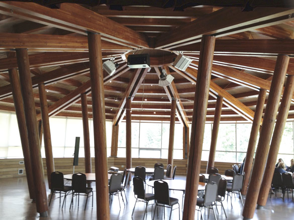
IstkenHall.jpg
Note the inspiration from First Nations architecture in the Istken Hall.

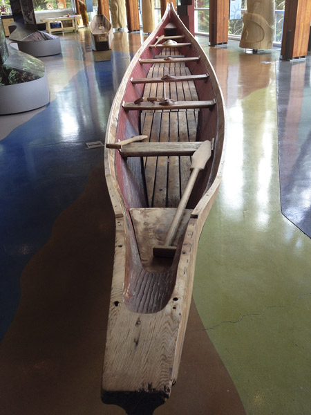
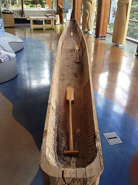
NativeBoat.jpg

NativeBoat2.jpg
One style of boat is for the sea-going people and the other for the inland river fishing tribes.

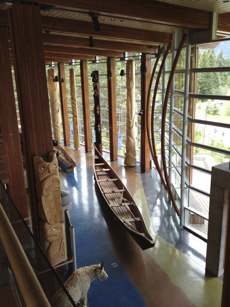
GreatHall.jpg
A view of the Great Hall from upstairs.

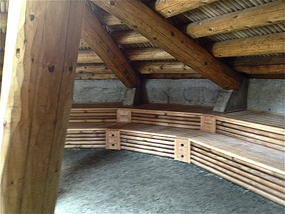
PitHouse.jpg
A re-creation of the Pit House which is normally underground. Note the benches where each family member had his or her own sleeping spot.
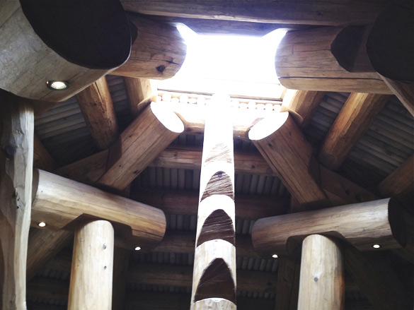
PitHouseEntry.jpg
There is an opening in the top of the house to allow smoke to leave and was also the entry/exit with a notched pole as a ladder.

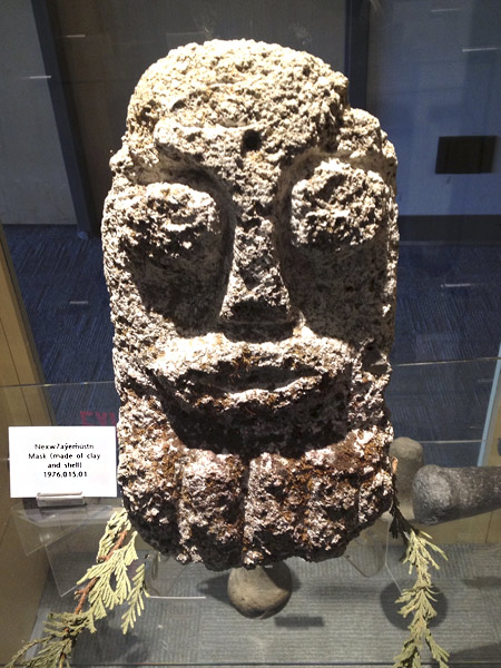
Clay_shell_Mask.jpg
A clay and shell mask, one of many artifacts in the museum area.

I also enjoyed learning more about the BC Aboriginal legends and symbology on their website. You may like to view a short video and slide show which gives a better idea of the Centre than our few photos.

Added later: If you’ve missed the earlier posts in the slow road series and would like to visit them, they are here:
part 1, part 2, part 3, part 4, part 5, interlude and part 6.

slow road, pt 6

The next morning, refreshed, rested and well-fed by our B&B hostess, we said goodbye to lovely Lilloeet Lake and headed south to Whistler. It had been quite a few years since our last visit and we were amazed how much it had grown, of course largely due to the Winter Olympics in 2010. Our goals were to visit two very special buildings which had been built that year.

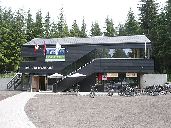
PassivHaus.jpg

PassivHaus3.jpg

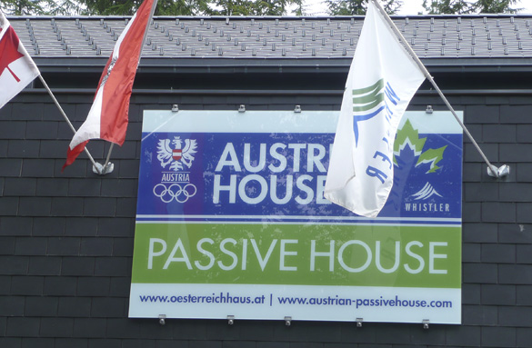
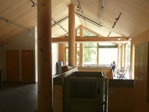
The first was the Whistler PassivHaus. Please read about its design in this informative article. After being on display during the Olympics, it is now a bike rental shop in summer with cross-county ski rentals in winter, along with a coffee shop. Upstairs is a large open space available for meetings and conferences.

PassivHaus_upstairs.jpg

PassivHaus_window.jpg

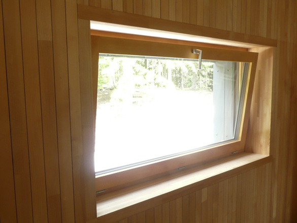
We have had a long time interest in architecture and alternative energy efficient home designs. We incorporated a passive solar design in our home which we renovated years ago. Building technologies have really developed a lot since then. We loved the use of finely crafted wood in this display. The windows and doors are of exceptional quality. We wished we had had those available when we built. Husband is quite keen on this design which is slowly taking off here after much success in Europe, but I say we’re getting too old to start building again.

Next and last post in this series will be about an amazing and gorgeous cultural place we visited in Whistler.

Added later: If you’ve missed the other posts in the slow road series and would like to visit them, they are here:
part 1, part 2, part 3, part 4, part 5, interlude and the finale.

slow road, pt 5

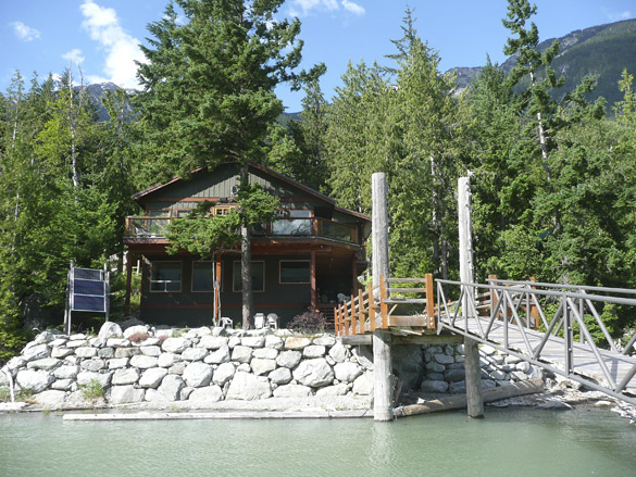
dockLillooetLake.jpg

CottageB&B_LillooetLake.jpg

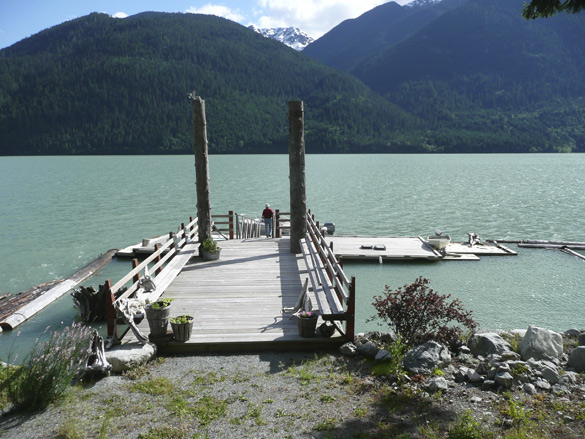
After a day (only a day since we left daughter’s place) of driving by astonishingly beautiful sights, we needed to stop for a night’s rest. We had booked in advance to stay at the Cottage B&B on Lillooet Lake. It’s off the grid on a beautiful lake with few occupants. The rough and narrow-at-times gravel road was a bit scary but we felt it was an adventure, reminding us of similar roads to cottages in our childhood. We felt instantly comfortable with the gracious hosts and enjoyed our spacious private space looking out on the water.

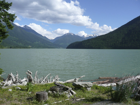
LillooetLake_south.jpg

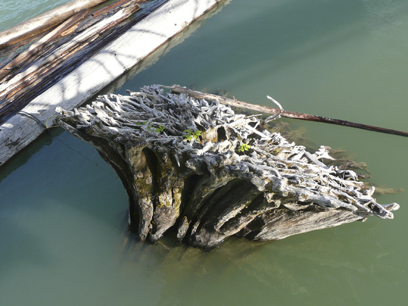
driftwood_water.jpg

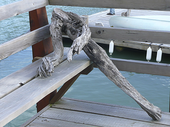
driftwoodfigure.jpg

We spent most of the evening relaxing on the dock, enjoying the sunshine and scenery. Numerous collected pieces of driftwood arranged here and there made me very camera happy (more in a future post). The sunset was a glorious finale for a fantastic day.

The other posts in the slow road series are here:
part 1, part 2, part 3, part 4, interlude, part 6 and the finale.

slow road, pt 4

overLillooet.jpg

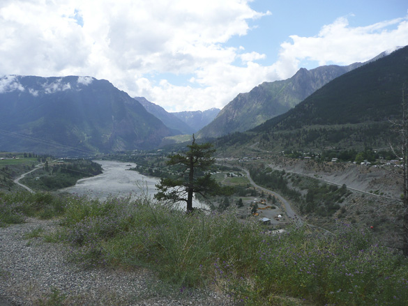
We continue driving southwards along the winding Highway 99 which edges steep mountains overlooking the rushing Fraser River. Here we have come to a view over the town of Lillooet, one of the hottest spots in BC. Interesting history, if you feel like reading the link. We stopped for lunch here.

SetonLake.jpg

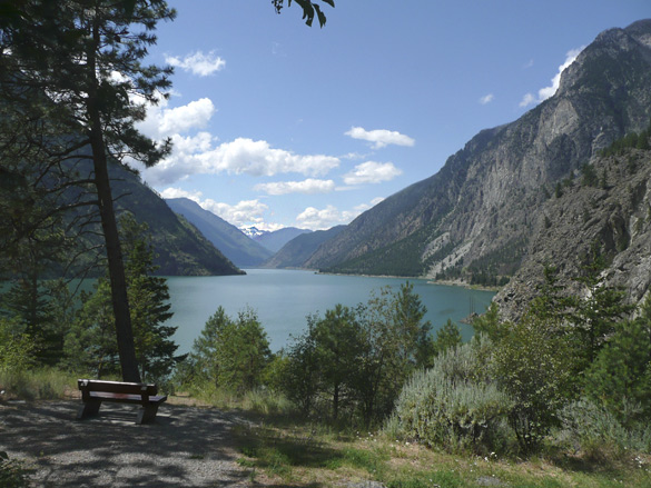
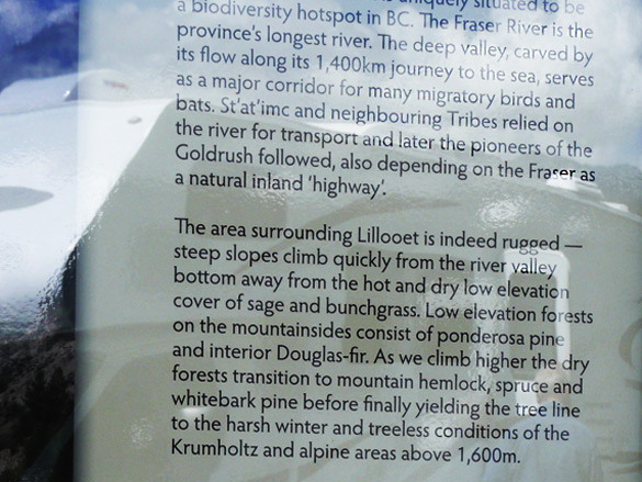
Soon after we come upon beautiful Seton Lake, with a portion of this informative sign below.

SignSetonLake.jpg

whitewater.jpg

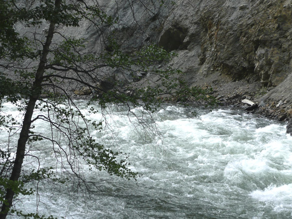
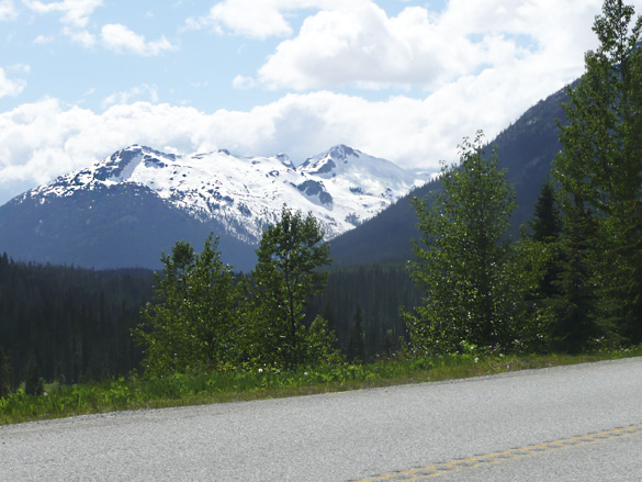
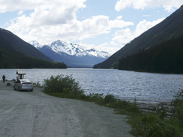
We pass many whitewater streams, exciting glimpses of glacier topped peaks and another lovely lake,

glacierPeaks.jpg

DuffeyLake.jpg
Duffey Lake

Photos just cannot do justice to the huge majesty of the snow topped mountains, rivers, lakes and trees. Next stop, our bed-and-breakfast stay.

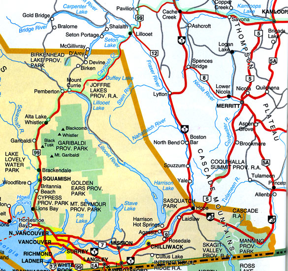
ADDED later: a cropped scan of a map I found in our favourite Beautiful BC Travel Guide (1994 ed.). Please follow the lime green line I traced along our route from east of Kamloops west, then south to Vancouver. I hope it gives a better idea of our slow road home.

SE-BC-MAP.jpg

Added even later: The rest of the slow road series may be viewed at the links below,
part 1, part 2, part 3, part 5, interlude, part 6 and the finale.

DNA study in BC

A groundbreaking genetic study led by a team of U.S. and Canadian anthropologists has traced a direct DNA link between the 5,500-year-old remains of an aboriginal woman found on a British Columbia island, a second set of ancient female bones from a nearby 2,500-year-old site and — most stunningly — a living Tsimshian woman from the Metlakatla First Nation, located close to both of the prehistoric burials along B.C.’s North Coast near the city of Prince Rupert.

The findings are the first of their kind to be generated using powerful new techniques to analyze the complete mitochondrial genome of the individuals studied, reconstructing a millennia-spanning line of maternal descent and providing remarkable new evidence of a people’s enduring occupation of a specific geographical area.

The scientific achievement is also seen to have significant implications for First Nations’ land claims and treaty rights, giving aboriginal groups a powerful new tool for demonstrating deep-rooted links between the present and hyper-distant past.

Read more in the Vancouver Sun. If unable to view as a non-subscriber, try the original source here. I had first seen this referenced in Archaeology.org which has a link to what may be the original article.

To me, this is exciting and fascinating news. Imagine some day having this new DNA research technology available to anyone to find one’s own roots from thousands of years ago. I wonder where my maternal ancestors came from?

slow road, pt 3

quarry.jpg

quarry2.jpg

quarry3.jpg

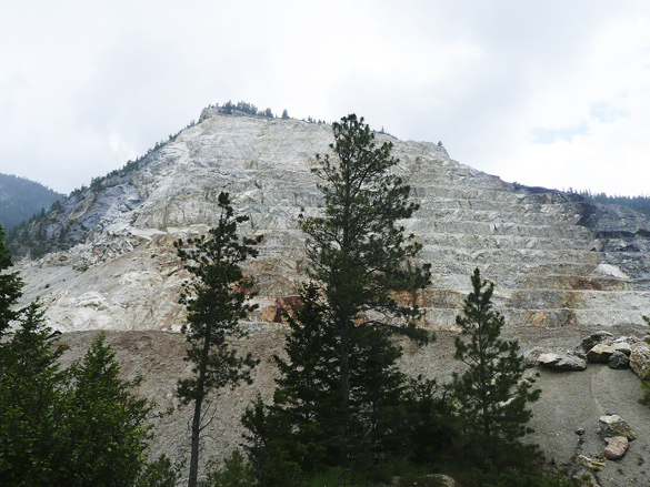
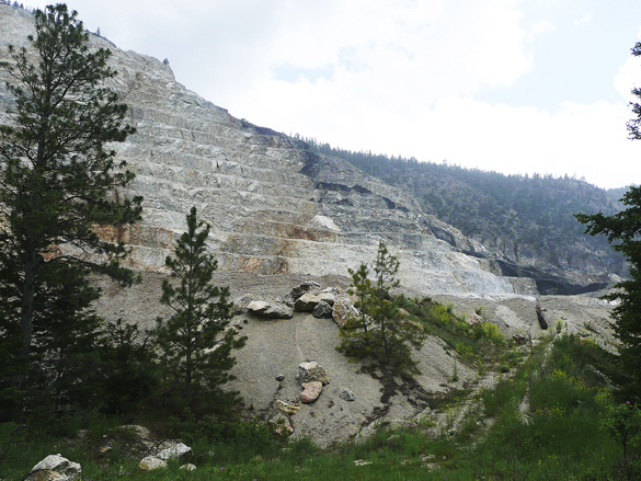
We left the dry grasslands of the south Cariboo region by taking the highway heading southwest through mountains and green forests, eventually to Whistler by the back route. It felt more like home already. It had been more than a decade since we’d travelled this way but we remembered its grand beauty and wished to see it again.

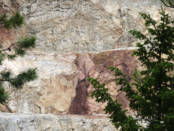
Soon in was a stunning sight of a mountain side that was being quarried. Catching too-brief glimpses through the trees, we were amazed by the textures of the rock. We were reminded of the views of quarried mountains in northern Italy, minus the forest. But here there were no posted signs and no human activity and I could not find any information online. It may be a First Nations operation. We also saw stunning areas of reddish colour here and there, reminding me of native pictographs (of which there are some in the area, I’d read).

ChimneyRock.jpg

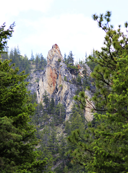
Then, wow, we caught glimpses, like a mirage, of an unusual pointed rock formation. We had to go back and forth along the road to find a bit of an open spot in the trees to capture this photo. I think it may be called Chimney Rock within Marble Canyon Provincial Park, an area of lovely small lakes which we could not see from the road.

The other parts of this series are here:
part 1, part 2, part 4, part 5, interlude, part 6 and the finale.

slow road, pt 2

KamloopsLake.jpg

KamloopsLakeSign.jpg

KamloopsLake2.jpg

KamloopsLakeValley.jpg

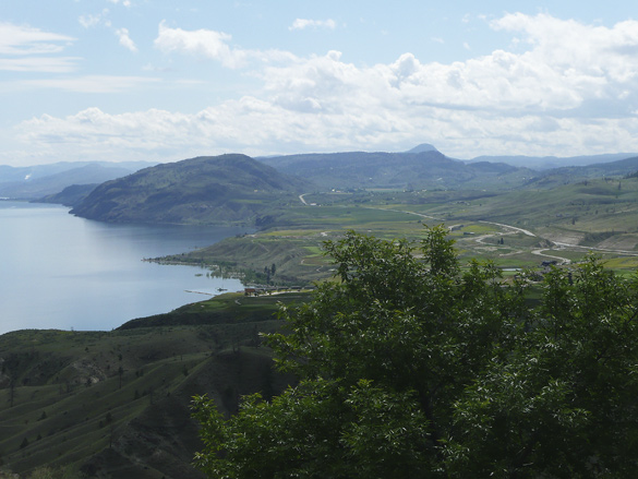
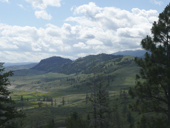
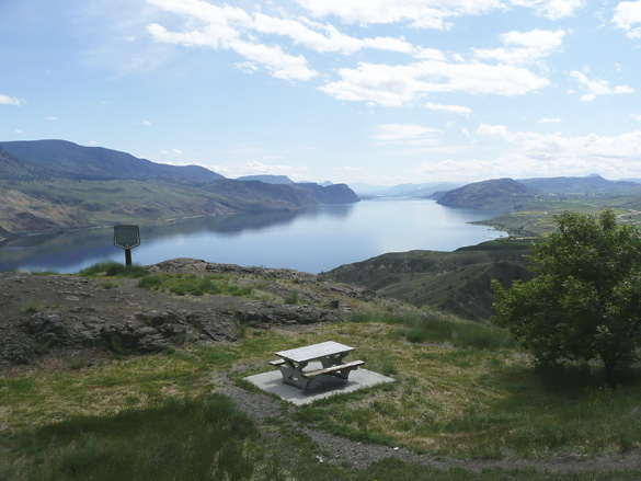
Continuing west (see part 1) from the city of Kamloops along the Trans-Canada Highway, we soon came upon a magestic view over Kamloops Lake as the highway skirted around it. Funny how we had forgotten it from not traveling this route in a couple of decades at least. The dry grassland hills are still relatively green from a wet spring.

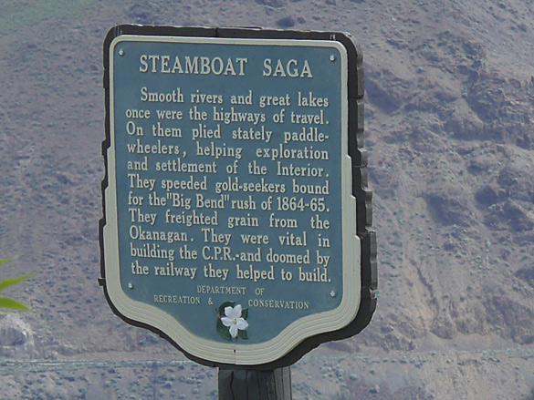
We appreciated how many roadside viewpoints are provided along this major cross-Canada route compared to the Coquihalla Highway, built much much later for truckers looking for a faster route to and from the coast. As you can see from the sign on the west end of the lake, this was an active water transportation route in the old Gold Rush days in BC. We’ll be entering some of that Gold Rush territory further on in our slow journey home.

The rest of the series are here:
part 3, part 4, part 5, interlude, part 6 and the finale.