slow road, pt 4

overLillooet.jpg

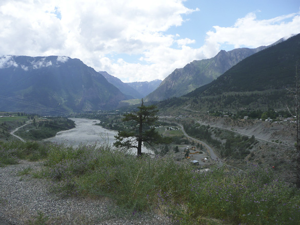
We continue driving southwards along the winding Highway 99 which edges steep mountains overlooking the rushing Fraser River. Here we have come to a view over the town of Lillooet, one of the hottest spots in BC. Interesting history, if you feel like reading the link. We stopped for lunch here.
SetonLake.jpg

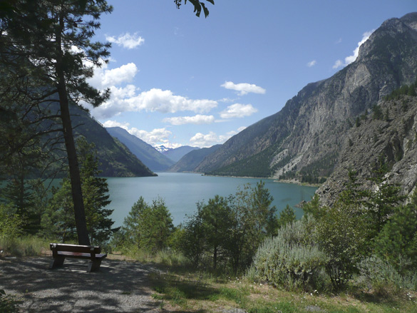
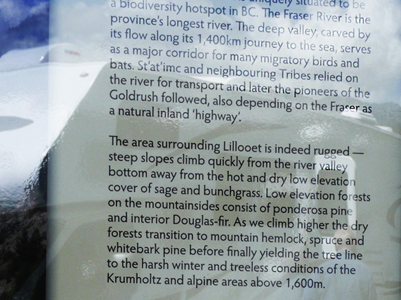
Soon after we come upon beautiful Seton Lake, with a portion of this informative sign below.
SignSetonLake.jpg

whitewater.jpg

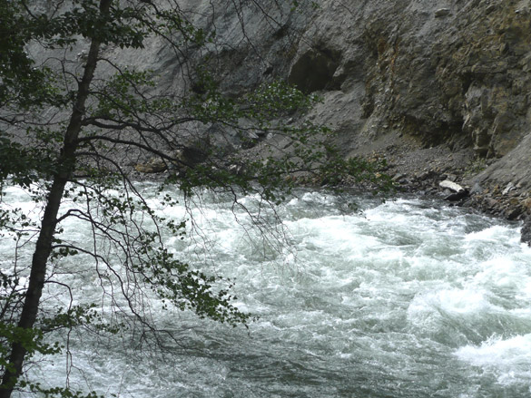
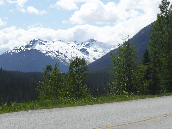
We pass many whitewater streams, exciting glimpses of glacier topped peaks and another lovely lake,
glacierPeaks.jpg

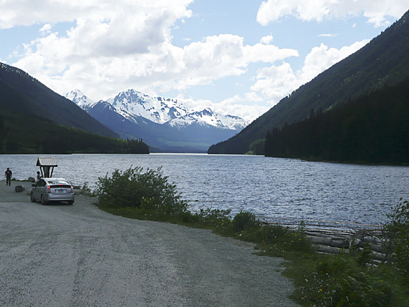
DuffeyLake.jpg
Duffey Lake

Photos just cannot do justice to the huge majesty of the snow topped mountains, rivers, lakes and trees. Next stop, our bed-and-breakfast stay.

ADDED later: a cropped scan of a map I found in our favourite Beautiful BC Travel Guide (1994 ed.). Please follow the lime green line I traced along our route from east of Kamloops west, then south to Vancouver. I hope it gives a better idea of our slow road home.
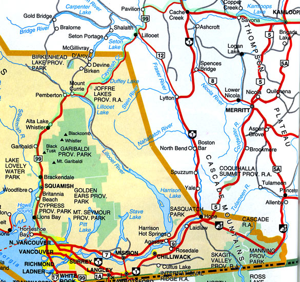
SE-BC-MAP.jpg

Added even later: The rest of the slow road series may be viewed at the links below,
part 1, part 2, part 3, part 5, interlude, part 6 and the finale.
DNA study in BC

A groundbreaking genetic study led by a team of U.S. and Canadian anthropologists has traced a direct DNA link between the 5,500-year-old remains of an aboriginal woman found on a British Columbia island, a second set of ancient female bones from a nearby 2,500-year-old site and — most stunningly — a living Tsimshian woman from the Metlakatla First Nation, located close to both of the prehistoric burials along B.C.’s North Coast near the city of Prince Rupert.

The findings are the first of their kind to be generated using powerful new techniques to analyze the complete mitochondrial genome of the individuals studied, reconstructing a millennia-spanning line of maternal descent and providing remarkable new evidence of a people’s enduring occupation of a specific geographical area.

The scientific achievement is also seen to have significant implications for First Nations’ land claims and treaty rights, giving aboriginal groups a powerful new tool for demonstrating deep-rooted links between the present and hyper-distant past.

Read more in the Vancouver Sun. If unable to view as a non-subscriber, try the original source here. I had first seen this referenced in Archaeology.org which has a link to what may be the original article.

To me, this is exciting and fascinating news. Imagine some day having this new DNA research technology available to anyone to find one’s own roots from thousands of years ago. I wonder where my maternal ancestors came from?

slow road, pt 3

quarry.jpg

quarry2.jpg

quarry3.jpg

We left the dry grasslands of the south Cariboo region by taking the highway heading southwest through mountains and green forests, eventually to Whistler by the back route. It felt more like home already. It had been more than a decade since we’d travelled this way but we remembered its grand beauty and wished to see it again.

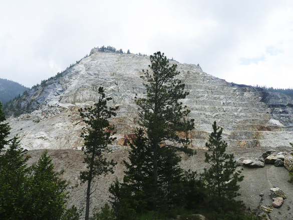
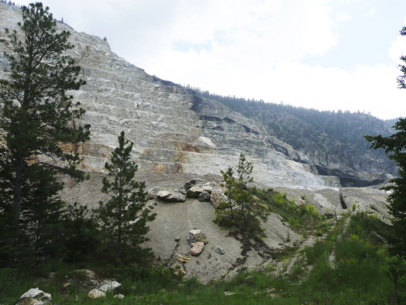
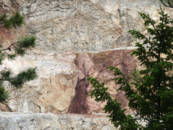
Soon in was a stunning sight of a mountain side that was being quarried. Catching too-brief glimpses through the trees, we were amazed by the textures of the rock. We were reminded of the views of quarried mountains in northern Italy, minus the forest. But here there were no posted signs and no human activity and I could not find any information online. It may be a First Nations operation. We also saw stunning areas of reddish colour here and there, reminding me of native pictographs (of which there are some in the area, I’d read).

ChimneyRock.jpg

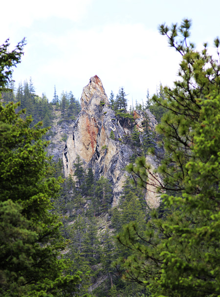
Then, wow, we caught glimpses, like a mirage, of an unusual pointed rock formation. We had to go back and forth along the road to find a bit of an open spot in the trees to capture this photo. I think it may be called Chimney Rock within Marble Canyon Provincial Park, an area of lovely small lakes which we could not see from the road.

The other parts of this series are here:
part 1, part 2, part 4, part 5, interlude, part 6 and the finale.
relief

WildMustard.jpg
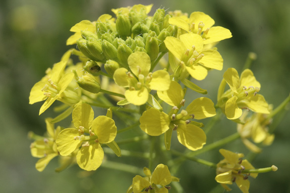
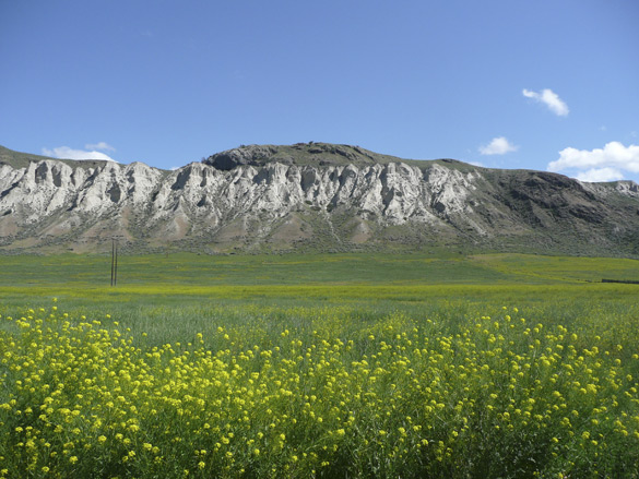
noxious wild mustard prevalent in the Thompson River Valley

As some of you know, my blog has been blocked for a week due to supposed malware. It’s been a long and frustrating wait to have it cleared. Thanks to my technical support J for putting up with my near daily complaints and to the server hosts for their work. Warm thanks also to the many concerned readers who emailed me. I am deeply relieved to have my sites back and hope that all will be fine now for a long time!

Note the noxious rating for this very wide-spread plant which we helped weed out of our daughter’s garden and which covers huge areas of farm and ranchland in southern BC. (see the top photo here). Each plant produces 2,000 – 3,500 seeds that may remain viable in the soil for decades and is poisonous to grazing horses and cattle. Noxious is what these evil doers on the internet are – may they choke on their own poison.

UPDATE: Note that commenters are now required to answer a simple question. This is to keep out robots. I hope that it does not deter friendly visitors but should you have a problem with this, please contact me.

slow road, pt 2

KamloopsLake.jpg

KamloopsLakeSign.jpg

KamloopsLake2.jpg

KamloopsLakeValley.jpg

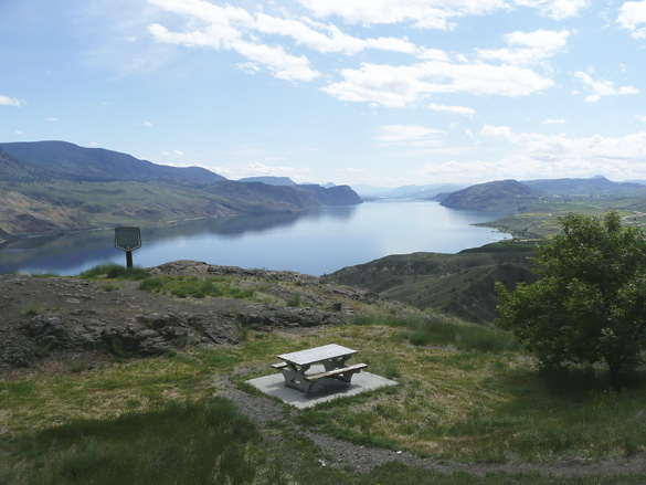
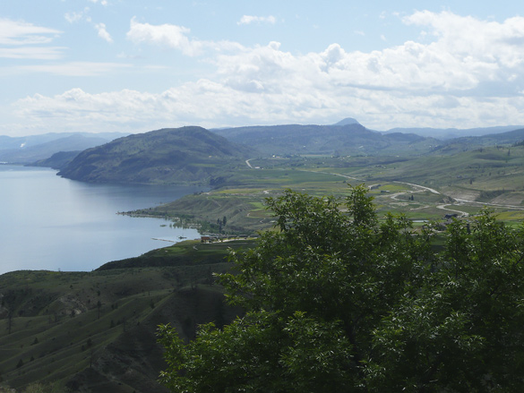
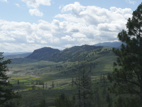
Continuing west (see part 1) from the city of Kamloops along the Trans-Canada Highway, we soon came upon a magestic view over Kamloops Lake as the highway skirted around it. Funny how we had forgotten it from not traveling this route in a couple of decades at least. The dry grassland hills are still relatively green from a wet spring.

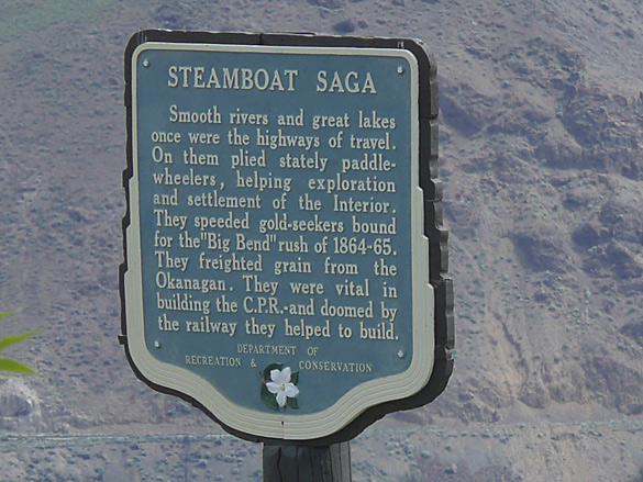
We appreciated how many roadside viewpoints are provided along this major cross-Canada route compared to the Coquihalla Highway, built much much later for truckers looking for a faster route to and from the coast. As you can see from the sign on the west end of the lake, this was an active water transportation route in the old Gold Rush days in BC. We’ll be entering some of that Gold Rush territory further on in our slow journey home.

The rest of the series are here:
part 3, part 4, part 5, interlude, part 6 and the finale.
slow road, pt 1

NThompsonSlopes.jpg

NThompsonSlopes2.jpg

NThompsonSlopes3.jpg

NThompsonSlopes4.jpg

NThompsonSlopes5.jpg

Recently we took a few days’ trip to visit our eldest daughter and her partner who live in the North Thompson River valley, east of Kamloops, BC. With us was also our eldest granddaughter who was eager to see her aunt and was going to stay there for a few days longer than us. As always it’s a gorgeous drive by way of Coquihalla Highway, through high mountains and steep valleys.

We enjoyed excellent gourmet meals prepared by Richard. We gave them a hand with work in their huge garden. One evening we went out for a superb Greek dinner in Kamloops followed by a tour of the city including the Thompson Rivers University campus with its magestic view of the city and the river valleys. (Sorry, we took no photos!)

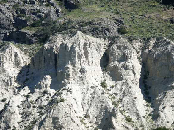
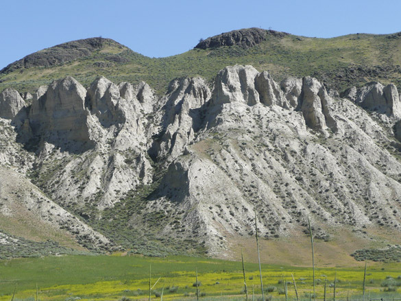
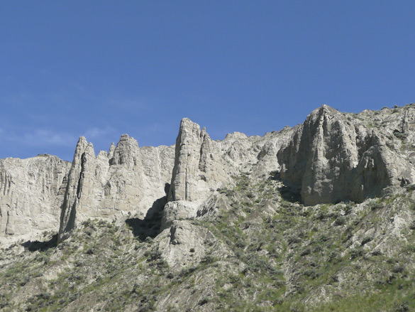
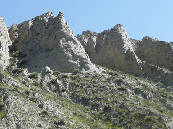
We had planned our return journey via the longer and slower route which we had not travelled in many years. Leaving the family, we first took the slow ranch country road along the north side of the North Thompson River (the main highway runs along the south side) only as far as Kamloops. I was eager to get a closer look at the unusual rock formations along the north slopes of the mountain range straddling the river. I like to call these “pre-Hoodoos” because they are in early stages. At home via the internet, I learned that further west yet nor far from Kamloops, there are true hoodoos – for next time!

I’ve blogged several times about past trips to this area, but suggest just this one from a trip in summer 2010 which shows two more photos of the North Thompson River valley. More to come about the rest of the slow road home.

Added 25th June: Tom’s comment below made me think that some of my newer readers (like Tom) likely haven’t delved deep into the almost 10 years of archives on this blog. I’ve written a fair bit about rock formations, petroglyphs and such related phenomena and how these have inspired my art work. Hoodoos are one such so I have gathered together some links below to past posts about them, should they be of interest to some readers. I enjoyed the revisit myself!

~ on badlands, hoodoos & petroglyphs
~ what are hoodoos?
~ visiting Writing-on-Stone Provincial Park
~ more about Writing-on-Stone

UPDATE later: The rest of the series may be found at the links below:
part 2, part 3, part 4, part 5, interlude, part 6 and the finale.
happy solstice

LilloeetLake.jpg

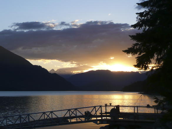
Hauskaa Juhannusta! Wishing I were in Finland to celebrate and enjoy the magical white nights at lakeside family cottages with bonfires and saunas!

This photo was taken at Lillooet Lake, BC just after 8 pm on June 16th where we stayed at a lovely bed-and-breakfast home. More about that trip later.

New World Finn interview

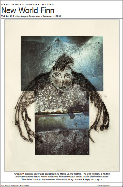
NewWorldFinnCover_Summer2013.jpg

I am thrilled and honoured to have been interviewed for an article in this summer’s issue of the New World Finn magazine, a quarterly journal exploring Finnish culture in the New World, and published in Wisconsin, USA. Katja Maki, also a Finnish-Canadian artist, and who lives in Thunder Bay, Ontario asked me many interesting and sometimes challenging questions. Katja and her sisters Taina and Della are frequent contributors to the magazine as well as being active in many Finnish emigrant gatherings in North America.

Please read the interview here**. The “cover page” has an image one of my favourite works as you can see above. I am enjoying the other articles as well and I hope you will too. The print version will come by snail mail and I understand it will be in black and white. My warmest thanks to both Katja and the publisher Gerry Henkel for featuring me and introducing me to the larger commununity of Finns in North America.

To visitors coming here from the magazine, welcome! I’m a little late posting this as I’ve been away on a short holiday. Feel free to wander and explore the site and to comment and ask questions; your email address will not be posted publicly and you do not have to have a blog to do so. Older posts have comment functions turned off.

New and regular visitors may note that I have a new link called ‘Gallery’ up on the top left of this page. This is my new website to feature my printworks on their own. Though still a work in progress with more works to be uploaded and details to be fine-tuned, I hope you will enjoy it!

UPDATE July 5th, 2013: Katja Maki has posted photos of readers with the print edition of New World Finn. Go look. I can hardly wait for my copy!

UPDATE December 6th, 2013: I happened to notice that the online site for New World Finn has been changed to a nice modern look! The current front page lists several articles so scroll down and find mine as the fourth one down, showing the above ‘cover’ page. I have replaced the former PDF link with the one on this new page.

**UPDATE March 26th, 2015: Sadly this long-time Finnish-American magazine published its final print issue in January 2015. I thought the online versions would remain on the net but those too seem to have since been taken down. Fortunately I still have my own PDF copy of this issue with the interview of me. Please check out the cover page, and pages three and four here: 2013_3c_NWF.

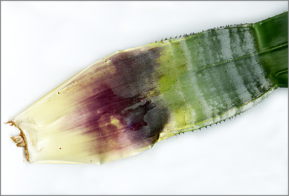
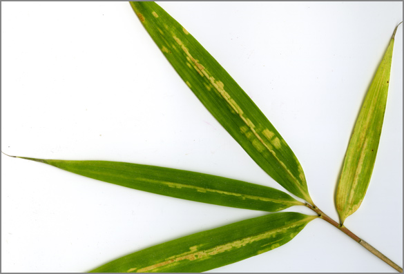
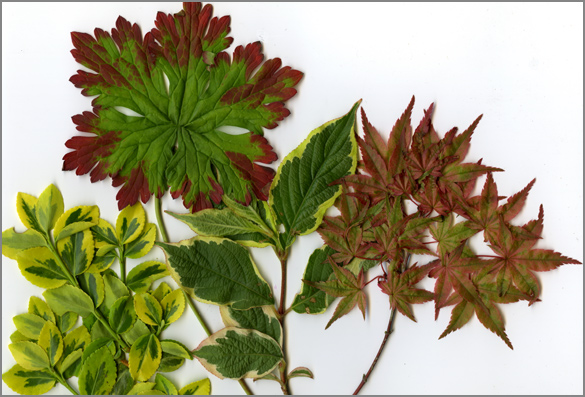
variegations

AechmeaFasciataLeaf.jpg

bambooLeaf.jpg

MixedVariagatedLeaves.jpg

More intriguing investigations that I discover while out gardening…

pink

pinkpetals.jpg

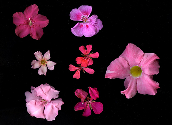
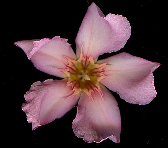
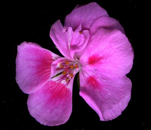
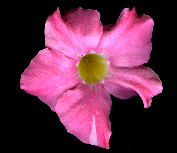
It’s the season for the flowering plants and various cuttings which have wintered over indoors to move outdoors for the summer. As I care for them I note again that a majority are pink. Is pink really the the dominant colour of flowers in the plant world, I wonder. I scanned a few – at left are some oleanders, in the center are single flowers from geranium clusters , and at right is a dipladenia blossom. Some closeups below.

oleander_peachsingle.jpg

geranium_pink.jpg

dipladenia2013.jpg

My favourite colour is red, and pink is a light red, vaalenpunainen in Finnish.
So many many shades of pink… Nature is quite the artist.